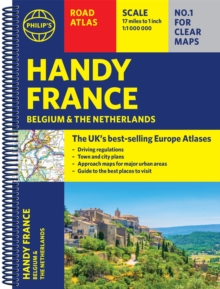
Description
| Product ID: | 9781849075565 |
| Product Form: | Spiral bound |
| Country of Manufacture: | CN |
| Series: | Philip's Road Atlases |
| Title: | Philip's Handy Road Atlas France, Belgium and The Netherlands |
| Subtitle: | Spiral A5 |
| Authors: | Author: Philip's Maps |
| Page Count: | 64 |
| Subjects: | Road atlases and maps, Road atlases & maps, Belgium, France, Netherlands |
| Description: | Select Guide Rating Philip's Handy Road Atlas of France, Belgium and The Netherlands features new digital cartography from Philip's - voted Britain's clearest and most detailed European mapping in an independent consumer survey. This compact A5 atlas with lie-flat binding is perfect for travelling across France and the surrounding countries. Philip''s Handy Road Atlas of France, Belgium and The Netherlands features new digital cartography voted Britain''s clearest and most detailed European mapping in an independent consumer survey. This glove-box size, compact A5 atlas with lie-flat binding is perfect for travelling across France and the surrounding countries. |
| Imprint Name: | Philip's |
| Publisher Name: | Octopus Publishing Group |
| Country of Publication: | GB |
| Publishing Date: | 2021-06-03 |


